Announcing LandSafe - Geocoding for UAVs
3 Minute Read

Addresscloud Wins Geospatial Commission's Transport Innovation Competition
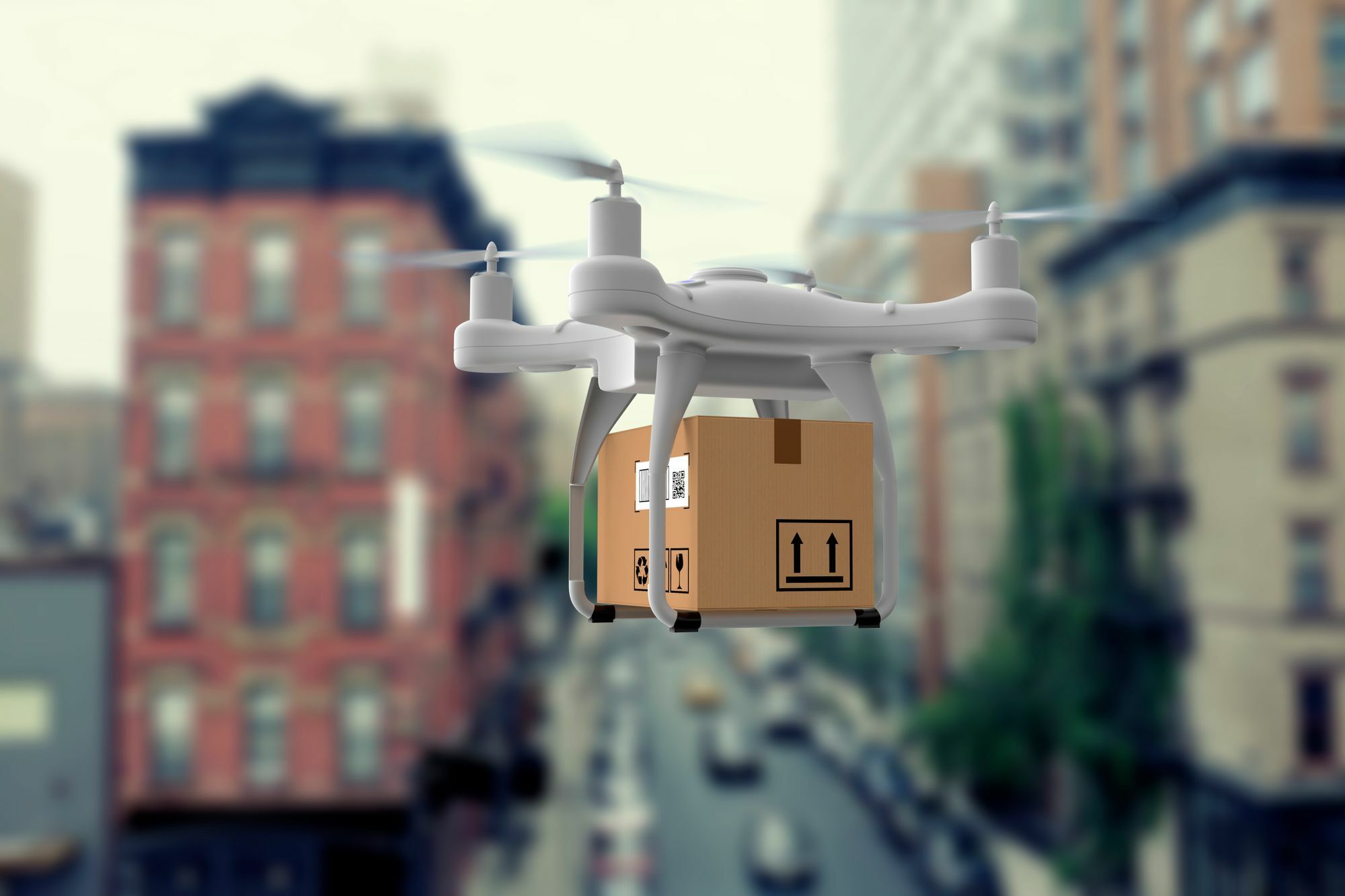
Today the Geospatial Commission in partnership with Innovate UK announced Addresscloud as one of the winners of its Transport Innovation competition. The Addresscloud LandSafe project aims to produce a national suitability database of landing sites for unpiloted aerial vehicles (UAVs) at every address in Great Britain. LandSafe will help business and the public sector plan, prepare and implement last-mile delivery using UAVs.
“From creating safer ways for people to travel, to improving our supply chains and delivery, data is key for innovation in transport to prosper. I’m excited to see how the winners of this competition can change how we travel in the future, making our journeys easier, cleaner and more efficient.”
Rachel Maclean
Transport Minister (January 2021)
Last mile logistics account for 53% of supply chain costs. Coupled with the need to reduce carbon emissions, retailers and logistics operators are currently developing UAVs for last-mile delivery of goods to consumers. This world-first database - LandSafe - will help operators assess the feasibility of UAV deliveries and support the creation of flight-safe corridors for UAVs to be used for consumer deliveries, emergency response and health care providers.
“LandSafe is a really exciting development in the use of UAVs for logistics. By linking every address with a landing suitability score, businesses and the public sector will be able to safely and effectively plan last-mile deliveries using UAVs nationwide. Addresscloud is a market leader in geocoding and property intelligence, and this innovative project extends our capabilities to support our logistics customers in their use of UAVs to optimise last-mile deliveries, reduce road congestion and cut vehicle emissions.”
Mark Varley
Addresscloud CEO (January 2021)
Building on Addresscloud's existing geocoding and property services LandSafe will enable:
- Retailers to conduct commercial feasibility analysis of UAV last-mile delivery for all properties at the national-scale
- Support existing R&D in UAV deliveries by providing precise landing location coordinates for UAV navigation software
- Enable online retailers to offer UAV delivery options at point-of-sale by verifying that a safe landing site exists at a customer’s address
In Phase 1 of the project the feasibility of LandSafe will be evaluated using a geospatial algorithm to determine landing site suitability for a chosen study area. Using data from the Ordnance Survey, who supported Addresscloud's bid, the algorithm will identify potential landing sites, and verify that they are free from aerial obstructions such as masts and pylons, and are outside restricted airspace.

Established in 2015 Addresscloud’s geocoding, property intelligence and risk assessment services support the day-to-day operations of both small retailers and FTSE 100 businesses. LandSafe builds on Addresscloud's existing services for the logistics sector, including its Kerbside product launched in 2020 to optimise delivery routing in Great Britain. LandSafe will extend Addresscloud's logistics capabilities and supports the UK’s Geospatial Strategy by enabling the adoption of UAVs for last-mile delivery, reducing transport costs, road congestion and carbon emissions.
Read the competition press release from the Geospatial Commission.
For enquiries please contact: landsafe@addresscloud.com
Addresscloud in Action
See how Addresscloud services are helping our customers solve real-world challenges.

